")
 copy")
 copy")
 copy")
 copy")
")
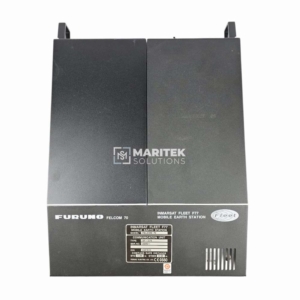
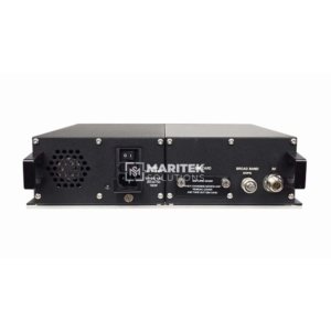
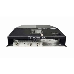
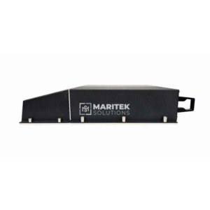
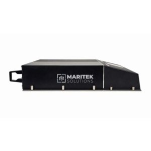
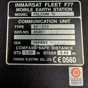
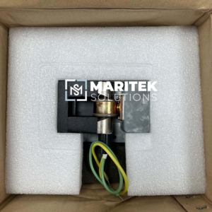
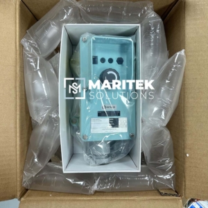
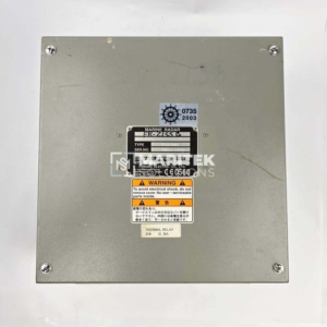
- Maker: Furuno
- Model: FELCOM 70, SF-270
- Description: Inmarsat Fleet F77 Mobile Earth Station Communication Unit
- Condition: New – (7 Days Warranty)
Maritek Solutions can supply new and refurbished spare parts of Furuno.
To receive a quote for Furuno FELCOM 70, SF-270 Inmarsat Fleet F77 Mobile Earth Station Communication Unit, Kindly email us at info@mariteksolutions.com.